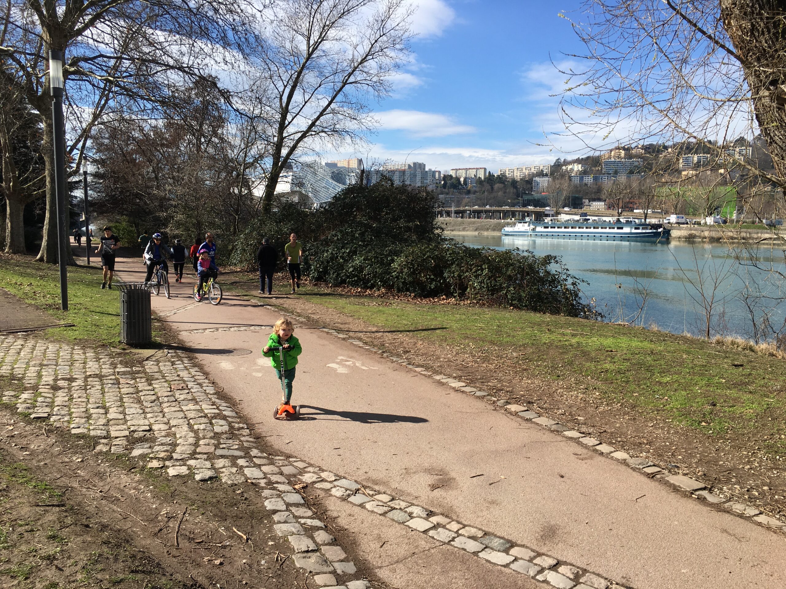
Rivers and cities have long been intertwined. Most major cities are located on rivers or estuaries, taking strategic advantage of them for navigation, water supply, water power, and waste disposal. Urban identify is commonly closely linked to water. While these observations may seem obvious, even trivial, the role of rivers, and indeed water in general, has been largely undervalued in urban history and urban theory. Changes in navigational technology and the decamping of industry to other parts of the globe have left many urban riverfronts with available land for the first time in at least a century, leading to an explosion in waterfront re-development in cities across Europe, North America, and Asia, and increasingly in the Global South. Understanding the underlying relations between fluvial and urban form can inform management of these new urban frontiers. The characteristics of the rivers themselves, the topography of the adjacent urban areas, the scale of the river and scale of the city, and hydrological patterns can all influence the city’s relation to its rivers and the redevelopment potential.
GMS Co-Director Matt Kondolf and GMS Affiliated Faculty Charisma Acey (City and Regional Planning) are exploring these themes with colleagues at the University of Bergen, geographers Terje Tvedt and Tarje Wanvik, and biologist Inger Maren, supported by a research grant from the Peder Sather Center.