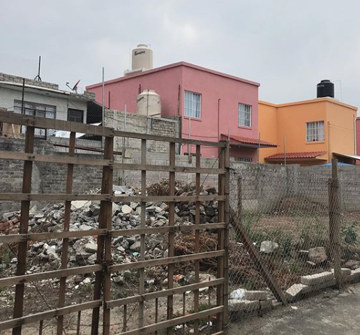
Centered on two peripheral communities (San Gregorio, Xochimilco and Colonia del Mar, Tláhuac) this study contributes to existing research on disaster risk reduction by looking at community-led, grassroots resilience efforts going on in places operating in the periphery of officially sanctioned programs, where communities don’t experience the same quality of water infrastructure or disaster mitigation and recovery efforts, but adapt in locally specific ways to their changing environments. I’m looking at these neighborhoods to understand the social production of disaster risk in Mexico City, as well as how these risks are being managed by non-state actors. This study examines how existing socioeconomic conditions and the interventions of political, elite, and informal actors—particularly through the implementation of infrastructure projects, political regime shifts, and top-down planning processes—produce and attempt to manage risk in Mexico City. Considering these conditions and interventions both before and after the 2017 Puebla-Morelos earthquake, we can see how risk is produced through infrastructure and public policy in the city, often as a reaction to previous disasters, or as a preventative measure where there are known hazards. While all of Mexico City is prone to earthquake hazards and flooding to some degree, the city’s increased disaster risk is due to poorly maintained infrastructure, poor or inconsistent building code enforcement, neglect by official programs, and higher vulnerability and exposure due to poverty and legacies of socioeconomic inequality. Since the 2017 earthquake, the city’s more affluent central areas are more or less being rebuilt through opaque official programs, while much of Mexico City’s periphery has been neglected. Urbanized along the dried lakebed of Lake Texcoco, the city’s periphery is vast in scale, and is home to the region’s most marginalized communities, many of whom live in autoconstructed houses. These outer areas are subjected to amplified earthquake risk because of below-ground soil conditions due to the lakebed beneath them, which makes them an ideal place to study how risk is produced in comparison to the rest of the city.
Social Vulnerability and Risk: Water Infrastructure and Earthquake Hazard in Mexico City

